The map comes out at the top of the climb and the wind immediately tries to take it. That is the wrong moment to discover the scale is too small, the contours are printed in a pale grey that disappears in sunlight, or the compass needle swings so slowly you lose the junction you were checking. Buying a map and compass close to home is a chance to avoid all three, because you can unfold the sheet on a counter, set two editions side by side, and ask someone who walks the same ground what actually works.
Start With the Terrain, Not the Gear
The first question is not which compass to buy. It is what kind of ground you will be crossing. Open moorland with long sightlines asks for different tools than a wooded ridge where the path forks every ten minutes and visibility drops to fifty metres.
On open ground, a 1:50,000 sheet and a simple baseplate compass will carry you comfortably all day. In forest, in hill country with complex spurs, or anywhere you might need to follow a boundary line in poor light, the extra detail of 1:25,000 earns its place, especially with a tighter contour interval. A local shop usually reveals its character through its map rack. If the staff walk the nearby hills, the rack will be heavy on the sheets that cover them, in current editions, with waterproof versions stocked beside the paper ones. If the rack is mostly souvenir fold-outs and country-wide road atlases, treat it as a stationery shop with boots attached and look elsewhere for navigation gear.
What a Good Local Shop Gives You
Online ordering is fine when you already know the sheet number. It is poor at the stage where you are working out what you need. A decent outdoor shop lets you compare adjacent sheets and see how much overlap they carry at the edges, which matters when your route runs along a boundary between two maps. Staff can also tell you things no product page will: that a footbridge shown on the current edition has been out for two seasons, that the forestry tracks in one block were felled and replanted, that the shop keeps a folder of out-of-print sheets for the local area because walkers keep asking for them.
You can feel the paper in your hands, too. Some sheets take pencil annotations well and some are so heavily coated that nothing grips. On a laminated map, a chinagraph or a soft pencil works; a hard pencil will skate. If you plan to mark a route and rub it out later, test the surface before you commit to a format.
How to Judge a Paper Map on the Counter
Unfold the sheet fully. Most buying mistakes happen in the margin, not in the middle of the picture.
- Scale and purpose. Check the stated scale and then find a feature you know, such as a village crossroads or a car park, and look at how much space it occupies. A 1:50,000 sheet covers a lot of ground but compresses detail; 1:25,000 shows field boundaries and small paths that vanish at smaller scales.
- Contour interval. Printed in the legend. Ten-metre contours read well in gentle country; in steep terrain the same interval can crowd into a black smear. Look at the steepest slope you expect to cross and judge whether you can still read it.
- Edition and revision date. Usually in the margin or on the cover. Newer is generally better for tracks, fences and access land, but an older sheet with clearer printing can still be useful. Just know which you are buying.
- Coverage and overlap. Trace your intended route with a finger and confirm it fits, including the walk out and any alternative descent. Check how the sheet sits against its neighbours.
- Grid and roamer match. Note whether the grid is metric UTM or a national grid, and check that the roamer scale on your compass matches the map's grid spacing. A mismatch is a quiet source of error.
- Print quality and legend. Fine contours, path symbols and boundary lines should stay legible in flat light. Check the legend language if you travel across borders, and look for a key that explains access markings.
Paper, folds and format
Standard paper is light and cheap to replace but turns to pulp in a shower. Encapsulated or waterproof sheets survive rain and can be folded wet, at the cost of a slightly bulkier pack and a surface that resists pencil. Folded sheets fit a map case more neatly than flat ones, but persistent creases wear through over years of use. Buy the format that matches how you actually carry things, not how you imagine you will.
Matching a Compass to the Map
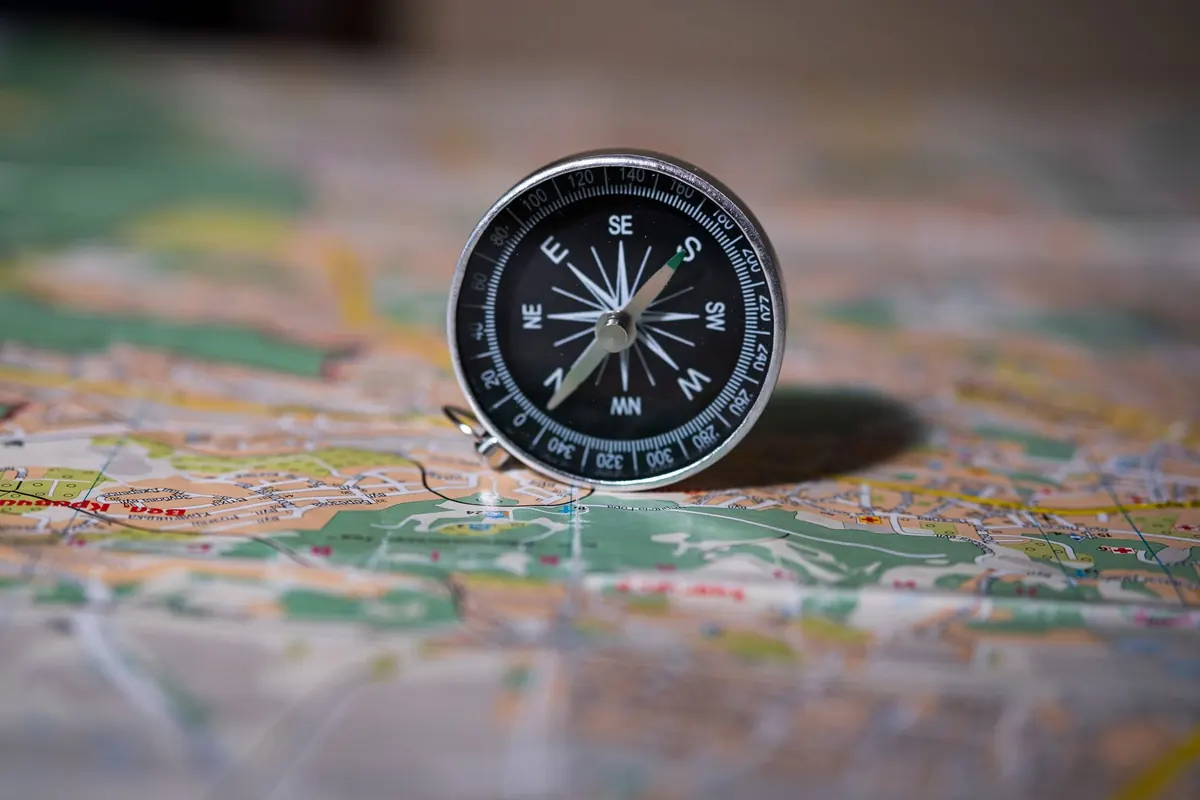
A compass needs three things to be genuinely useful: a baseplate with straight edges and a roamer scale, a rotating bezel with orienting lines, and a needle that settles quickly. Beyond that, features are about conditions.
The baseplate is your ruler and your protractor. Longer plates are easier to line up between two points; a magnifier built into the plate helps when the print is small. Luminous markings matter more than people expect on a winter afternoon. A declination adjustment, either a small screw or a fixed offset, lets you set the difference between grid north on the map and magnetic north at the needle, which varies by region and drifts slowly over the years. Learn whether your compass has it and how it works before you leave the shop.
Mirror or no mirror
A mirror compass costs more, weighs more and takes a little practice, but it lets you hold a bearing while watching the needle and the terrain at the same time, and it works better in low light because you are sighting through a slot rather than squinting at a dial at arm's length. If you mostly follow paths and use the compass for confirmation, a plain baseplate model is lighter and quicker. If you plan to take bearings on unmarked ground, the mirror earns its keep.
One more question worth asking: whether the needle is suited to the hemisphere you are travelling in. Compasses built for one zone can stick or tilt in another. Shops that sell to travellers usually stock globally balanced versions, and staff will know the difference.
Small Extras Worth Picking Up
- A clear map case with a cord, large enough for the sheet folded to a usable panel
- Two soft pencils and a small eraser, or a chinagraph if you use a laminated map
- A separate roamer or protractor if your compass plate is short
- A spare, lighter compass for a partner or as a backup
- A small notebook for bearings, timings and notes on conditions
Questions Worth Asking Behind the Counter
Ask which sheet the staff would take for a specific hill or coastal stretch, and why. Ask whether the shop runs or knows of a local navigation course, since an hour of instruction with a map and compass outdoors fixes more than a season of reading. Ask about current access issues, seasonal closures and any path diversions on the sheet you are holding. Then ask them to check the declination diagram with you and confirm the grid spacing, so you can set your compass correctly at home rather than on a windy summit.
Buy Local, Then Practise
Before the trip, spread the map on a kitchen table, mark your start and finish, and set the compass declination. Fold the sheet so the day's route is on the outside. Write the date and your route on the cover in pencil, because in six months you will not remember which loop that crease belongs to.
Then go and use it somewhere low-stakes: a local hill, a park with paths, a walk you already know. Follow a bearing for two hundred metres and see where you arrive. Practise estimating distance from the grid while you walk. Shops that sell navigation gear tend to be staffed by people who do exactly this, and a good one will happily spend ten minutes checking your technique before you spend money. Buy the sheet that covers the ground you actually walk, buy a compass you can read with cold fingers, and go back to the same counter when you need the next one.
Photo: pasja1000 / Pixabay