A winter route plan is not the summer plan with an extra fleece in the pack. The trail that took six hours in July can take nine in February, not because you have slowed down but because the ground has changed, the light has changed, and the device in your pocket is running on cold chemistry. The mountain is the same distance away. The margin around it is not.
What follows is the routine worth adopting once the first real snow settles: how to budget daylight, how to reshape an objective for deep cover, and how to keep a navigation system alive when the temperature drops below freezing.
Budget the light before the kilometres
Start with sunrise and sunset for your date and your location, then subtract more than feels comfortable. Two hours is a sensible buffer for a winter day: one for the slower pace of snow, one for the fact that nothing goes to plan in the last hour before dark. Civil twilight is generous on paper and stingy in practice. On a snowfield in flat light you will struggle to read the shape of a slope long before the sun is technically gone.
Write a turnaround time on the map and treat it as a rule, not a suggestion. "We turn around at 13:30 whatever happens" survives bad weather and enthusiasm. "We'll see how we feel at the col" does not.
Lighting is part of the plan, not an emergency. Carry two small headlamps rather than one large one, with spare cells in an inside pocket where they stay warm. A lamp you can run on a low setting for hours is more useful than a spotlight that empties itself in ninety minutes while you are still finding the descent. And take a moment to think about where the sun will be on the way back: a north-facing slope that was soft and forgiving in the morning can be a hard, loud sheet of ice by three in the afternoon.
Reshape the objective, not just the pace
The most common winter planning mistake is keeping the summer objective and simply accepting a longer day. Change the objective instead. Deep, unconsolidated snow can halve your speed; breaking trail through it is work measured in minutes per hundred metres, not kilometres per hour. A route that was a pleasant half-day in dry conditions becomes a race against the light in February.
Choose lines where the way ahead is obvious without a visible path: broad ridges, forest roads, well-used valley floors, the edges of open ground. Favour routes you can retreat along the same way you came, so that a change of conditions costs you nothing more than a reversal. Avoid committing terrain — a slope you must cross, a stream you must ford, a cliff band you must find a way around — until you know what it looks like under snow.
Three questions to ask of any winter route
- Can I follow this line if the path is buried and visibility closes in?
- Where exactly do I turn around, and is that point easy to recognise?
- If the intended line is not safe on the day, where do I go instead?
Plan the day you could finish in the dark, and you will usually finish in the light.
When the path disappears
Snow does not just slow you down; it removes your confirmations. Trail junctions vanish, blazes get buried, and the worn line through a boulder field becomes a smooth white slope that could be anywhere. This is where a plan built on terrain features earns its keep.
Place waypoints on things that survive a metre of snow: a col, a lake outlet, the corner of a building, a stream confluence, the toe of a distinct buttress. Marking a trail junction in your device is close to useless if the junction itself is under a drift. Before you leave, load the route and then look at your waypoints and ask whether you could find each one with your eyes alone.
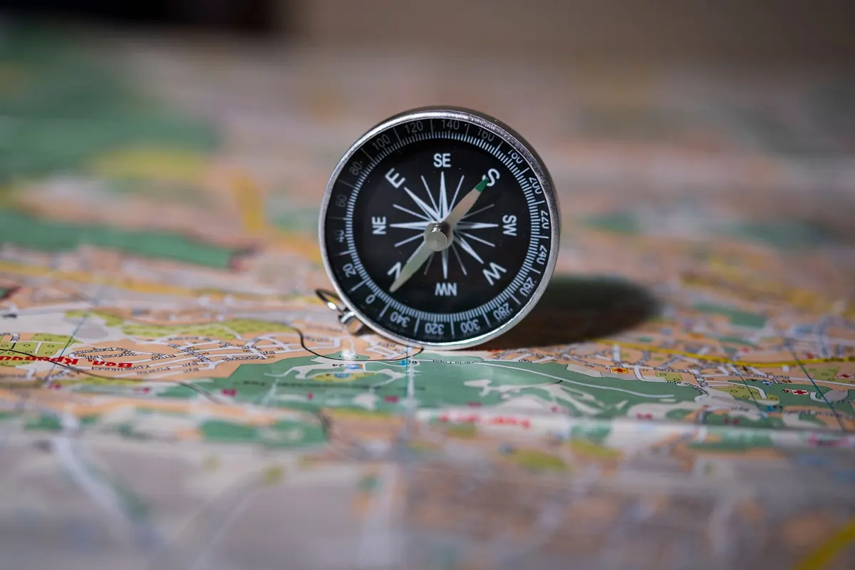
On long open stretches, take a compass bearing and pair it with a distance and an expected change in elevation, and write the numbers down. A folded paper map in a chest pocket, with the relevant section showing, is faster than any screen and works with gloves on. Keep it on a cord so it does not become a kite in the wind.
A simple bearing card
A small card in the map case, with four or five lines on it: leg, bearing, distance, height gain, and what you expect to see at the end. It takes ten minutes at the kitchen table and gives you something to check against when the light goes flat and your sense of direction starts negotiating.
Cold, batteries, and the phone that dies at forty percent
Cold reduces the usable capacity of every battery you carry, and it does so unevenly: voltage sags under load, so a phone showing a third of a charge can shut down the moment the screen wakes up. Warm it against your body and it will often come back. That is a nice property, not a reliable one.
Manage it deliberately. Keep the phone in an inside pocket, not the lid of your pack. Run it in airplane mode with the screen dimmed and background apps closed. Take fewer photographs than you want to. A power bank is only useful if it is warm as well; a cold bank charges slowly and wastes much of what it holds. For headlamps, lithium cells hold up in low temperatures better than alkaline ones, and spares belong against your body rather than in the pack.
One small habit: a device that has been cold-soaked and is then brought into a warm tent will collect condensation. Let it warm gradually in a pocket or a stuff sack before you open it up.
Build a chain, not a single device
Two navigation tools that fail for the same reason are one tool. Aim for methods with genuinely different failure modes:
- Paper map and baseplate compass. No batteries, no charging, no firmware. Know the local declination and have it written on the map case.
- A handheld GPS or watch with the route preloaded. Useful for confirmation and for pace, and it keeps working when your hands are too cold for fine map work.
- A phone with offline maps and the same track saved. Convenient, power-hungry, and the first thing to fail in the cold.
- A written plan card. Route, alternate, bearings, turnaround time, and the number to call if you are late.
Test the chain at home before you need it: put the phone in airplane mode, load the route, then walk a local loop using only the paper map. You will learn in an hour which parts of the system you actually trust.
Leave the plan with a person
A plan that exists only in your head is a hope. Give someone the route, the alternate, where the car is parked, the latest time you expect to be back, and the point at which they should raise the alarm. A photograph of the marked-up map is enough. Agree a check-in and send it, even if it is a two-word message from the trailhead. A post on a social feed is not a check-in; nobody is watching it on your behalf.
Fifteen minutes the night before
Print the map and mark the turnaround. Load the track, then open it in airplane mode to confirm it is really there. Charge everything and put the spare cells in the jacket you will actually wear. Write the bearing card and the trip plan, and send the plan to the person expecting it. Set two headlamps by the door, not one. Then sleep, because the day will start earlier and end sooner than you would like.
Photo: Felix-Mittermeier / Pixabay